Barnetby le Wold
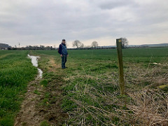
From Marsh Lane through wet fields
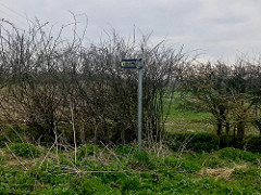
We thought that we took the direction the Viking Way sign was pointing to but that happened to be a wrong road. We walked over a mile all the way to the water treatment facility, Barnetby Sewage Works, before we decided to turn back towards Marsh Lane. A friendly farmer pointed us to the right direction and we started on the track through the fields.
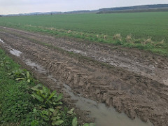
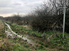
This part proved to be most challenging because we wanted to keep our hiking boots dry and it had been raining a few days before.
Village names ending in 'by'
In this region many villages have names ending in 'by'. This naming practice started during the rule of the Danes about a thousand years ago. Danelaw or the laws of the Danes were followed in the northern and eastern parts of England from the 9th century until the 11th century:
Bigby, Somerby, Searby, Grasby, Clixby
We continue walking on bridleways and public rights of way through fields. Some parts are still wet and some quite muddy at this time of the year.
Bigby
Somerby
Nettleton and The Salutation Inn
The second section of The Viking Way ends in Caistor, but we continue a couple of kilometres further to Nettleton, knowing that it will give us a chance to have a meal at The Solution Inn. As far as we had been able to find out, there was no practical bus connection we could have used from Caistor or Nettleton back to Barnetby le Wold Saturday afternoons, not even by changing to another bus or train. The pub in Nettleton would be the best place from where to organise a cab back to Barnetby. Both the meal and getting a cab turned out to be a great success.


